Exercise in Map Construction
The primary goal of this exercise is for you to construct a basic
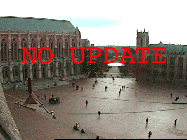
map of Red
Square by doing a little 'field' work and experiencing the
great outdoors. Those with professional surveying training are
excused (you will probably be embarassed at the lack of rigor).
Teams of size 4 or 5 are advised.
The day of this event cannot be predicted with great accuracy.
It might happen any time...
The cambot will record the students in action (surveilant society
at work...); In 2004, some
pictures were taken, courtesy Michael Patrick. This year,
we jumped early when the weather cooperated, 21 January. Students
who missed the event will have to schedule a make-up event (collectively)
on a good or less good day.
You are given a sheet of 11X17" paper, a
straight-edge, and a sharp pencil.
Two 'baseline' distances have been carefully established, one
between Savery and Gowen halls along the top of the steps, another
between the two furthest bollards between Kane and Suzallo. The
exact locations will be established by field visit. Amazingly,
this distance is 40' in both cases, for all practical purposes.
From one of these baselines, you will be ready to locate various
features in and around Red Square with some degree of accuracy
(your mileage may vary!).
The following features should be included on your map:
1. Front of Suzzallo Library
2. Front of the Administration Building
3. Kane Hall
4. The Campanile (yes, that is its name)
5. The "Broken Obelisk" Sculpture
6. The Flagpole (the tough part....)
The Procedure:
0) The scale of the map will be 1"=40' or 1:480. Thus mark
off 1" on the map as a baseline. You will run out of paper
if you do not establish the baseline in the NE corner of the paper
at an approximate 45° angle.
1). Place yourself at one end of a baseline. Using some flat surface
(like a clipboard; four big surfaces to share provided) on which
to place your map sheet, align the baseline drawn on the map sheet
with the baseline on the ground (make the one on the map sheet
parallel to the one on the ground). Also try to keep the map sheet
as level as possible (easier on the bollards).
2). Locate one of the features within Red Square. 'Sight' this
feature from where you are standing; where is it in relation to
the endpoint of the baseline (your location)? On your map sheet,
draw a line from the baseline's endpoint towards the feature.
You don't have to worry about the exact distance to the feature,
just lightly draw a ray across the paper using a straight-edge.
3). Now find another feature and repeat the above process. Remember
to keep the baseline on the map sheet parallel to the ground's
baseline and don't move from your location at the end of the baseline.
Some features like buildings will obviously require more than
one sighting at them since they cover an area, so building corners
can be used as sighting points.
4). Once you have sighted everything that you can from that end
of the baseline, move to the other end of the baseline and repeat
the procedure in 1, 2, & 3 above. Follow the same guidelines
as mentioned and sight as many relevant features as possible from
that endpoint.
HINT: There will be a special marker on the wall to the east (about
2') of the cement trashcan at the west end of the Administration
building (Gerberding Hall!) is a key point to map.
5). When you have finished sighting from the baseline's endpoints,
now move to one of the locations you sighted to and 'occupy' that
sight. From there, you should repeat the same procedure as above.
It may be more difficult to keep your map sheet aligned properly
without the ground baseline to use as a reference, however you
can use the features you already mapped as a guide for orientation.
(Align the map by a "backsight" to along a line previously
established... This is where the error creeps in, nay, it JUMPS
in.)
6). Once you have located the required features in Red Square,
as well as the Flagpole between Parrington and Kane halls, the
field work component of the exercise is complete. You can now
sit down and create your map by marking the intersections of the
lines you drew for each feature you sighted. Fill in the building
fronts from the corners. If any objects seem way off, you may
want to go back and recheck the sighting.
7). After you have finished, compare your map to the actual campus
map. How does yours compare? If something is not aligned properly
or missing, consider the reasons why that might be the case. Don't
change your map to fit the real world! If Suzzalo is in the Drumheller
Fountain, there might be some procedural error, at least.
As with most surveying parties, you'll probably find working in
a small group easier with more accurate results than individually.