Objectives of lecture:
- Preparation for Lab: field work on a sunny day!
- Reminder of basic tradeoff in map projections
- Parameters involved for each type of projection
- Distribution of error and Tissot's Indicatrix
You do not just make "measurements". It all depends on relationships (hence the need to "adjust" geodetic survey results.
Snyder selection weaves back and forth between projections
and description of ellipsoids. Sections 2 and 3 sort of duplicate
the geodesy readings.
The bit on auxillary latitudes is quite bizarre, and not used
much anymore...)
Snyder personal
history;
Snyder (page 4) reviews basic goals of map projections;
scale (not preserved completely by ANY projection)
direction (conformal preserves LOCAL direction; azimuthal for some points)
Rhumb lines (Mercator); Great circles (gnomonic)
State Plane chooses conformal projections; UTM is too. Hence angles do not need scaling, but distances have a "grid to ground" conversion [local scale factor from projection surface to ground location]; areas even more complicated (Do the GISs convert area from grid to ground?)
Developable
surfaces: plane,
cone,
cylinder
and mathematical projections that don't actually work on a geometric
basis...
Take a tour of the graphics from the MICROCAM site...
or a tour of the Hunter site (not recently updated, links may fail)
Dana's Projections
section of the Geographer's Craft Project
The parameters play out the geometry of the developable surface choice.
Snyder has other books about projections and distribution of error
Tissot's Indicatrix deformation from ellipse created by
tiny circles projected [1881]
basically obtained by a differential of mapping equations [yes,
calculus]
While Tissot had a geometric connection, Laskowski (1989) in Accuracy
of Spatial Databases shows how to obtain more easily through
Singular Value Decomposition [SVD] (obtained from Taylor expansion
of mapping equations) (Laskowski's
personal favorite)
See some examples of the Indicatrix for standard projections (MICROCAM);
research on projection error in global change (Karen Mulcahy)
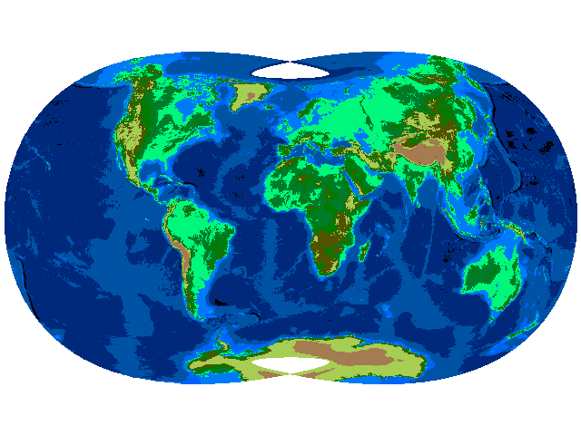
Arno Peters contends that "normal" projections for
world maps under-represent the less-developed world (which happens
to be equatorial). Proposes his "Peter's"
Projection. An equal area projection probably originally
developed by Gall in the 1830s.
Certain cartographers take exception to Peters, some smoke...
little fire?
National Geographic Society adopted Robinson's
projection, which distorts every property (hand drawn, not mathematical)
from 1988 to 1998; now they have noved to another compromise,
the Winkel
Tripel. (Their site deals with the schematic of the tradeoff...)
Monmonier deals with the Peters issue in his cartocontroversies
book...
Hunter College Map
Projection pages
Geographer's
Craft Project
Dana's Coordinate Systems pages have a Geodetic Datums section and a Projections section
Stephan Voser, great
list of standard projections for Europe and elsewhere. (with
ESRI parameters for most of them...)
Another summary with some specifics on European solutions
Bob Burth list of links on datums and coordinates (some links to specific country solutions)
the chatter it often takes to figure out that Switzerland is an oblique Mercator (1997 email, all links dead...)!
Global Grids research (conference
at Santa Barbara in 2000)
Oregon
State approach (done for EPA)
Geoff Dutton's (Spatial Effects pages listed in the prior lecture...)
US Geological Survey: order
form for USGS publications, UTM
factsheet, (poster not on web!)...
Official Coordinates for Washington State (RCW (the
server) , Text (partially
converted of Title 58 Chapter 20)